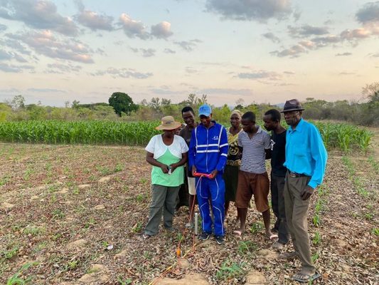
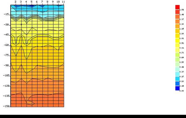
There are two methods we use for siting which are the traditional method and the geological survey method. The traditional method makes use of copper wires and it is supported by the geological surveying method in order to identify potential drilling locations capable of providing sustainable water supply by drilling deep boreholes. Our survey reports also show potential water breaks, GPS coordinates and indicate potential drilling depth.

.png)
.png)

What do you think? Leave a comment
0 Comment(s)